
godude
Your self-guided Tour du Mont Blanc, planned in 2 minutes.
Stages, which huts to book first, and backup options. Distances and elevation computed from OpenStreetMap + DEM — confirm on the ground.
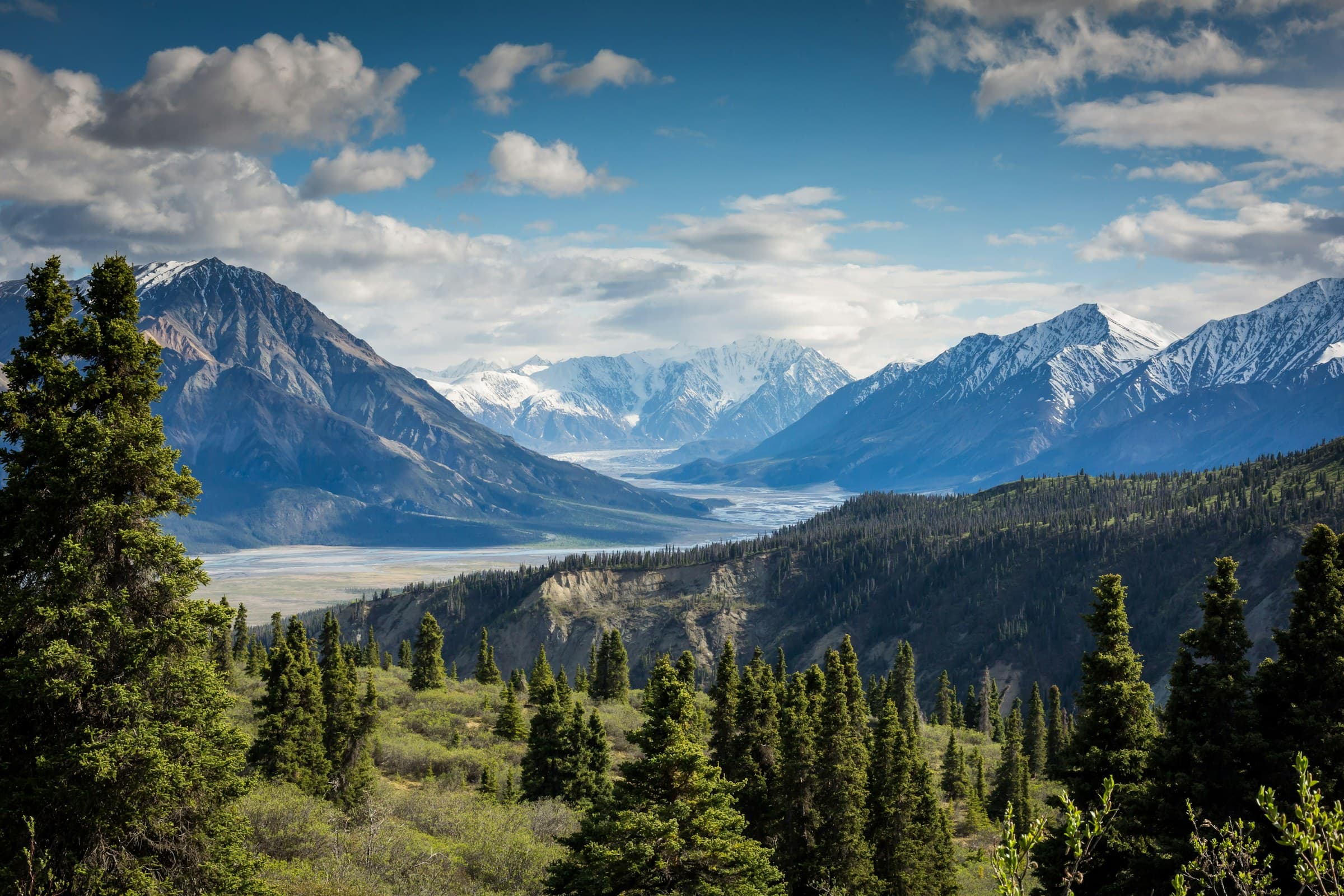
Unsplash photo — Alpine massif
How it works
Three steps. No account. A free preview before you pay.
- 01
Answer in 2 minutes
Dates, direction, level, budget and lodging style. We pace each day to your effort cap.
- 02
See your free preview
Full stage breakdown with computed km and elevation (OSM + DEM). Hut names stay masked.
- 03
Unlock the plan
Suggested lodging, dated checklist, PDF and OSM GPX — €19 or €29 incl. tax per group.
Season focus: how to book 2027 huts · Croix du Bonhomme closed 2027–2028
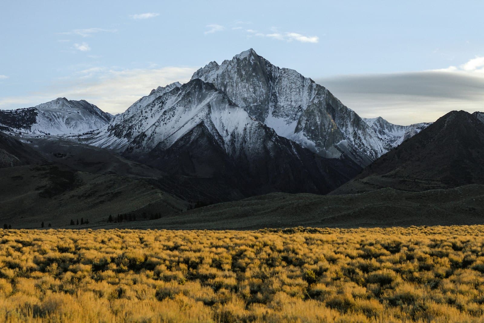
Sample: TMB in 9 days
Counter-clockwise from Les Houches, intermediate pace. Figures computed from OpenStreetMap + ASTER DEM.
107.9 km · +8838 m · 9 days
Day 1
Les Houches → Les Contamines-Montjoie
9.3 km · +372 m · Bellevue cable car (Les Houches)
Day 2
Les Contamines-Montjoie → Les Chapieux
17 km · +1432 m
Day 3
Les Chapieux → Refuge Elisabetta Soldini
3.2 km · +417 m · Shuttle Les Chapieux → Les Mottets / Ville des Glaciers
Day 4
Refuge Elisabetta Soldini → Refuge Walter Bonatti
25 km · +1600 m · Bus / lift shortcuts (short itinerary)
Priced like a hut night
One-off incl. tax per group, not per person. Commercial guarantee: refund on request at hello@godude.fr within 14 days.
Essential
19 €
per group (one-off payment, price incl. tax)
- Day-by-day breakdown
- 1 suggested lodging + 1 alternative per night
- Booking order and official links
- Dated checklist
- Plan PDF
- GPX (OSM track — verify on the ground)
- 1 plan regeneration
Complete
29 €
per group (one-off payment, price incl. tax)
- Everything in Essential
- Up to 3 lodging alternatives per night
- 3 plan regenerations
- Detailed EUR / CHF budget (never combined)
- Bad-weather variants in the day-by-day plan
- Bilingual FR+EN PDF
- .ics reminders for the checklist
Computed figures, not ground truth
Distances and elevation are computed from OpenStreetMap (ODbL) and ASTER via OpenTopoData. Walking time: 4 km/h + 1 h / 400 m ascent + 1 h / 800 m descent. Always confirm on the ground. Supporting narrative may use AI (Vercel AI Gateway) strictly from plan facts, otherwise templates.
Read our methodFAQ
Does godude book huts?+
No. We tell you what to book first and link to official pages. No availability guarantee.
Where do km and elevation come from?+
From OpenStreetMap Tour du Mont Blanc geometry and an ASTER DEM, packed automatically. Time formula documented on /en/method — always confirm on the ground.
Can I get a refund?+
Yes — commercial guarantee: refund on request at hello@godude.fr within 14 days. At checkout you also accept immediate delivery and waive the EU withdrawal right for this digital content.
Does the plan replace a guide?+
No. It’s a planning aid. Weather, snow and judgement stay yours. Emergencies: 112.